 Paint Creek TrailPaint Creek Trail
Connecting the communities of Rochester, Rochester Hills, Oakland Township, Orion Township and the Village of Lake Orion in Oakland County, Michigan.
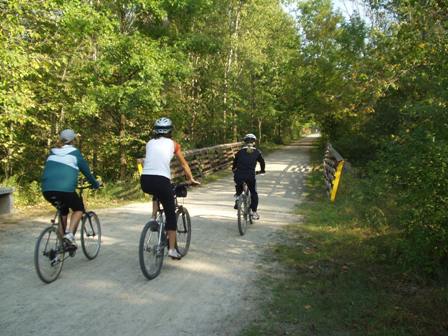
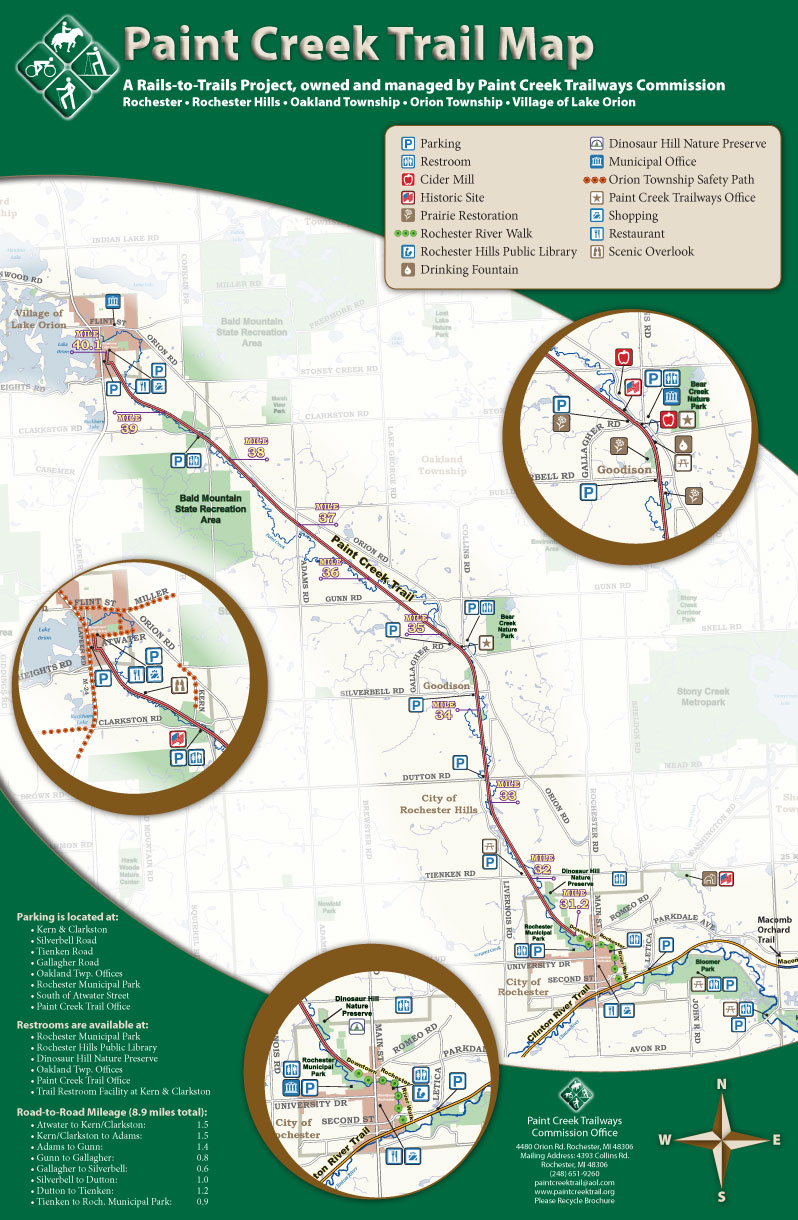
Many people utilize the Paint Creek Trail for athletic training purposes. Some people are curious as to how far destinations are from each other. For your convenience, you can utilize the following chart to track your distance:
For a more detailed mileage breakdown list that includes municipality, bridge and other landmark information, you can download our Trail Mileage Breakdown with Landmarks file here. This document shows total mileage, mileage between landmarks, and mileage based on our Mile Marker System.
Mile Marker System
As recently as 1974, the Paint Creek Trail was a railroad corridor. The Detroit and Bay City Railroad Company
built the rail line in 1872, connecting Detroit to Bay City. Michigan Central Railroad later acquired the line
and developed the mile-marking system in the late 1890s. Each mile-marker contained the letter “D,” signifying
“Detroit,” and a number that represented the distance in miles from the center of Detroit to that Point.
These markers are metal, diamond-shaped signs and are found at ½ Mile intervals along the Trail.
Additional rectangular mile-markers have been located at each gate, bridge and road crossing.
In an emergency, identify the nearest mile marker you saw so that the location can be pinpointed, and dial 911.
Paint Creek Trailways Commission, 4393 Collins Road, Rochester, Michigan 48306
Copyright ©2008-2012 Kristen Myers
All rights reserved